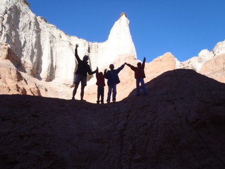
One of the many highlights of our week-long family camping trip in southwestern Utah was a hike to Calf Creek Falls in the Grand Staircase-Escalante National Monument.
The Grand Staircase-Escalante National Monument, which was set aside as a national monument in 1996, contains 1.9 million acres of land in southern Utah. There are three main regions: the Grand Staircase, Kaiparowits Plateau, and the Canyons of the Escalante.
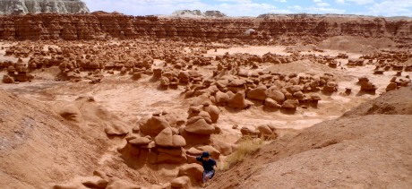
Our trip started in Goblin Valley State Park. On Day Three of our trip, we were going to be traveling along the north boundary of Grand Staircase-Escalante on our way to Kodachrome State Park. Even though we were only traveling through the Escalante area, we wanted to experience it more intimately than simply driving through it, which is how we experienced it a few years ago.
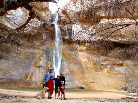
After only brief investigation it became clear that we would be remiss – nuts, even – if we didn’t hike to Lower Calf Creek Falls. The hike is three miles one-way (6 miles roundtrip), and the reward for hikers is big: a 126-foot, beautiful waterfall, at the head of Lower Calf Creek Canyon, which plunges into a perfectly round green pool. Its upper tier fall, which isn’t visible from the base of Lower Calf Creek Falls, is 88 feet tall, making the waterfall’s total height 214 feet. Hikers who want to see the upper fall can scramble about a mile further up to catch a glimpse.
Lower Calf Creek Falls is glorious. The “ribbon-like” waterfall is outlined with green and yellow colors from algae growing on the sandstone, which thrives on the waterfall’s year-round flow.
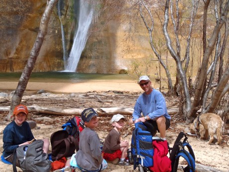
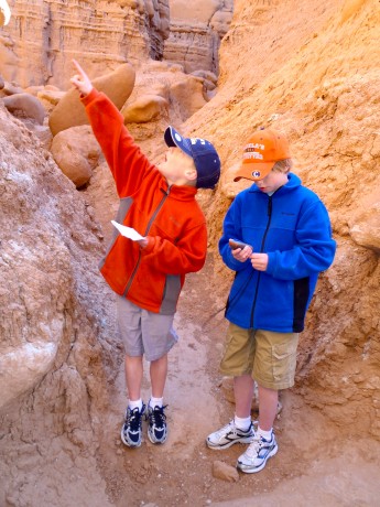
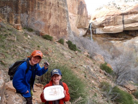
After a wonderful picnic near the waterfall, we had another adventure to tend to: To find a geocache that was reportedly in the vicinity. Our older sons, Wolf, 11 and Hayden, 9, and I scrambled above the trail in search for the treasure. After using our GPS to determine its location, and some fun exploring and mystery, we were successful in our “hunt.” It was very exciting! Finding the geocache marked our first official geocache find. And, I might add, our family is now hooked on geocaching.
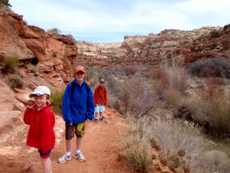
We had big expectations for the hike, and our expectations were exceeded. Our almost-four-year-old son hiked the entire six miles with not too many complaints and after only a handful of bribes. His brothers, ages 11 and 9, were great “adventure leaders” on the hike.
I highly recommend this hike. The trail is wide and mostly packed dirt. It’s level and easy-going, beautiful, and includes 15 interpretive markers. A bonus are the pictographs hikers can glimpse on the massive, tall cliffs while hiking past interpretive marker #9.
Here’s a short video that shows you some of the scenery included in the Lower Calf Creek Falls hike, as well as a little bit of the geocaching adventure:
Stay tuned for upcoming blog posts about Kodachrome State Park and Coral Pink Sand Dunes.
