Hi there! Some of you may have followed my blogging during my two-year weight loss journey, from March 2009-March 2011. Today, I’m starting another experiment that is related to my health:
Note: I will blog here every Wednesday about what I’m learning, starting tomorrow, Oct. 17. Thanks, in advance, for your support.
Life and Leadership
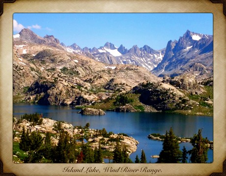
Island Lake and Titcomb Basin: Breathtaking
It has been a generous summer for me in terms of how much time I’ve had in the high country of my back yard, Wyoming’s Wind River Range. For the last six weeks, I’ve gone on six epic day hikes.
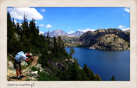
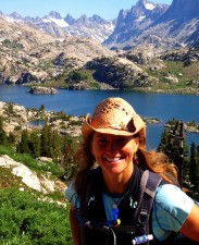
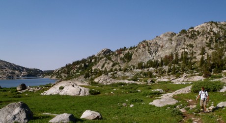
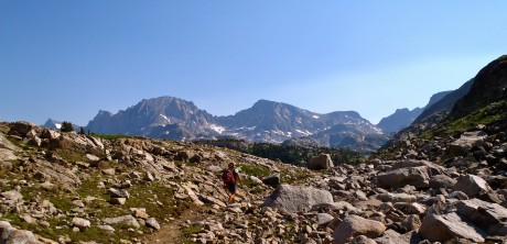
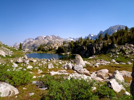
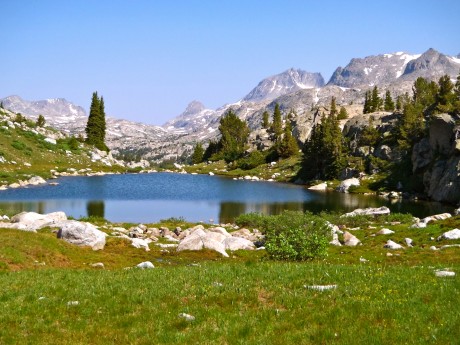
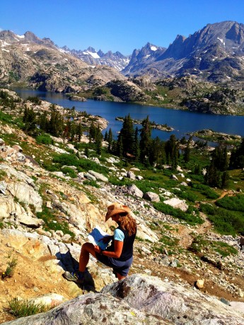
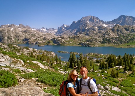
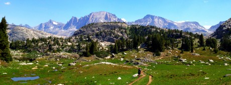
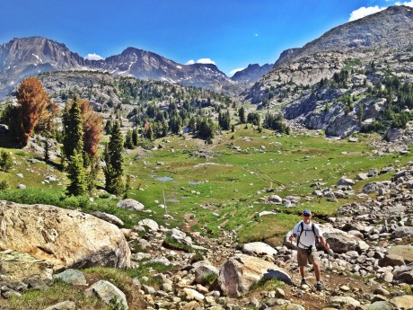
On July 12, my husband, Jerry, and I hiked a 25.5-mile roundtrip hike that took us past a jaw-dropping panoramic view of massive granite peaks and several lakes, and through fields of wildflowers before reaching what is one of the most spectacular sights I’ve ever seen — Island Lake and Titcomb Basin.
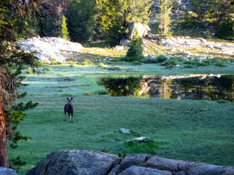
This hike would be all new territory for us so we were particularly excited. We started hiking at 5:30 a.m. from the Elkhart Park/Pole Creek Trailhead, located about 15 miles/30 minutes outside of Pinedale, WY. We enjoyed a very gradual uphill hike through a forest for the first few miles. At four miles we noted a cow moose standing near a pond in a meadow to our left. We watched it — had a bit of a (loving) staredown with it — for a few minutes, before quietly moving on. I always see moose, or elk, or both, when I’m hiking with my better half. He’s either good luck, or he and I don’t chat as much as my girlfriends and I do on our epic hikes. At any rate, after seeing a moose so early on, I knew it was going to be a spectacular day.
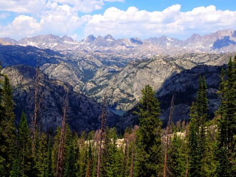
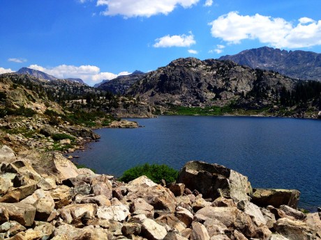
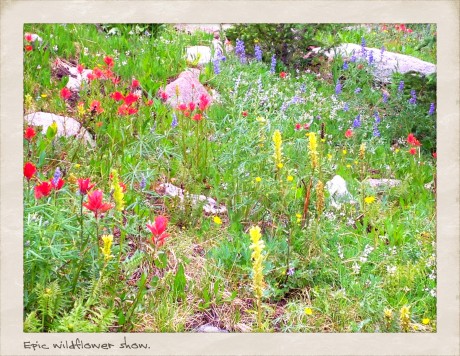
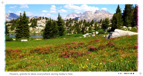
From Photographers point, we descended a mostly-forested trail that was interrupted every once in a while by meadows that are part of Miller Park. These little meadows were full of wildflowers. The show was amazing and included purple lupine, yellow buttercups, and bright red Indian paintbrush. The area also has lots of limber pine.
Next, we hiked past Eklund Lake and Barbara Lake before ascending to Hobbs Lake. At nine miles, we reached Seneca Lake, a beautiful lake that is pretty big. We really enjoyed hiking alongside the long shore of Seneca Lake. At about 11 miles, we hiked past Little Seneca Lake, and soon after, we arrived at a junction. Go right toward Lester Pass, or continue straight toward Island Lake and Titcomb Basin. We did the latter, although we’d like to hike a loop that includes Lester Pass and Pole Creek Lakes next time.
We continued up and over a pass toward Titcomb, whose high, jagged points were becoming visible to us and served as teasers. We hiked through piles of granite and enjoyed views of two or three more beautiful lakes to our left as we continued at 10,500′ en route to Island Lake and Titcomb Basin. Despite having many miles on our legs, our pace quickend in anticipation of the view that awaited us over the pass.
Wyoming’s Titcomb Basin has been featured prominently in Backpacker, Outside, and other magazines. From the photos I had seen and the stories I had heard, I knew it would nothing short of extraordinary.
And yet, it was even better than extraordinary. The view of Island Lake and Titcomb Basin blew our minds and took our breath away. Yes, the view is that good. We experienced the region for 30 minutes before we couldn’t take the bugs anymore. It was fulfilling to drink in the view and the quiet before putting our packs back on and returning the way we had come.
There are many more photos, and a video blog, below. It was another epic day in my back yard.
By the way, when I’m not hiking — and sometimes when I am — I am a life and leadership coach and consultant. Check out EPIC LIFE, my coaching business. Epic Life provides coaching, with an option for a guided epic adventure. I also have a blog there.
Thanks to our wonderful friend, Korinne Thoren, for watching the boys so we could tackle this hike!
VIDEO BLOG:
Doubletop + New Fork Canyon = Awesome

My friend, Tom Carter, is author of Day Hiking the Wind River Range. He has told me, in person, as well as in his guidebook that the hike to the top of Doubletop Mountain, in the northern Wind River Range, provides a 360-degree view of the entire span of the Wind River Range.
For years I have wanted to see if the view is as good as he says it is. I am here to report that indeed, it is.
This was my first time to hike in the northern section of my beloved Wind Rivers, and although getting to the trailhead took more time than usual (located on the other side of the range from us, north of Pinedale, WY), I was eager to see new country.
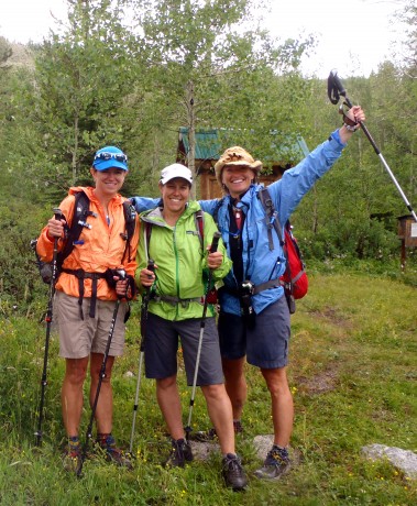
My comrades for this hike would be my good friends, and frequent epic hiking partners, Kathy Swanson and Holly Copeland. Our hike would be a 21-mile loop connecting Doubletop Mountain, Palmer Lake and New Fork Canyon trails. Our start/finish was at the New Fork Lakes Trailhead, a 45-minute drive north of Pinedale.
For the first two miles, we hiked up, through aspens and over a lateral moraine that rises sharply alongside upper New Fork Lake. The moraine and lake are a result of the “Pinedale Glaciation” that occurred 10,000 years ago. Carter explains in Day Hiking the Wind River Range: For 5,000 years, a river of ice flowed from the mountains, carrying large amounts of rock and glacial debris. It scraped and eroded the canyon walls forming a broad U-shaped gorge. The glacier spilled into the valley floor and scooped out what is now New Fork Lake.
At two miles, you’ll come to an intersection with the Lowline Trail, for which we left the New Fork Canyon trail. Here, we also had to find our way through some willow thickets and cross an inlet to New Fork Lake to the opposite side.
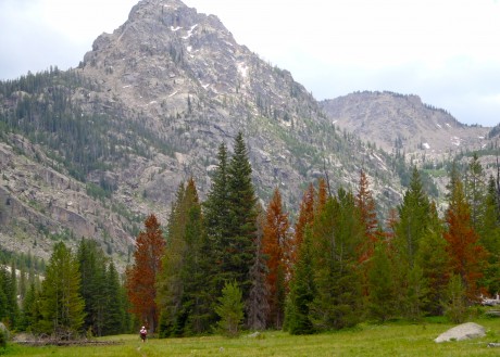
Once across, we started hiking up what is a long, sustained climb up and around Doubletop Mountain. The trail passes through a forest that was pretty well burned up during a human-caused fire in 2008. The elevation gain to Doubletop’s top is about 3,000′ so this isn’t for the faint of heart. We continued hiking up, mostly through forest, until we reached a very buggy Rainbow Lake at 4 miles.
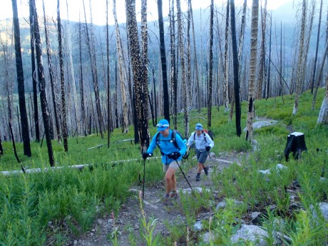
After Rainbow Lake, most of the work is done. It’s just a gradual mile and 400′ more feet of vertical gain before the trail levels out and dishes out the prize — an amazing panoramic view of the entire Wind River Range.
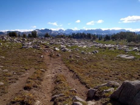
We continued another half or three-quarters of a mile around the mountain, past a junction for the Bluff Creek Trail. Here, we stayed left and left the Doubletop Mountain trail briefly for a scramble to the mountain’s official summit, which stands 10,892′ tall. While Doubletop is not a tall mountain or a spectacular mountain in itself, it sure knows how to dish out a view.
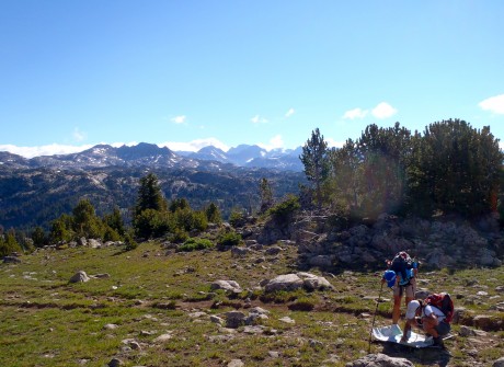
From Doubletop’s top, we could see Temple Peak some 45 miles to the south, Angle Peak, Fremont Peak, Gannett Peak, and many other impressive peaks.
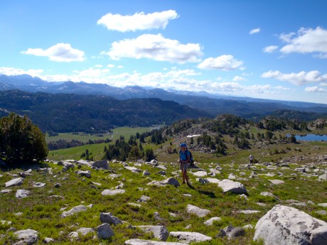
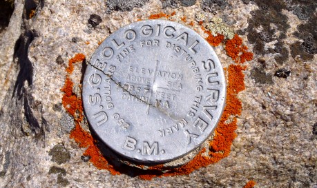
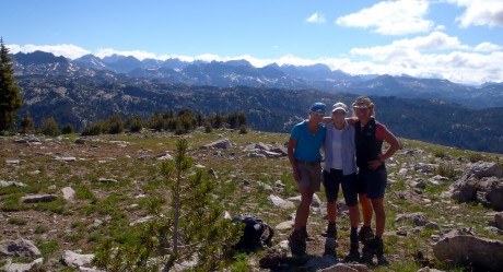
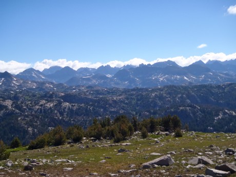
After experiencing the awesome views from Doubletop, we continued along the trail toward Palmer Lake. After hiking alongside Palmer Lake’s shores, and spying fish jumping in its waters, we headed for Palmer Canyon, which we would descend toward New Fork Park and New Fork Canyon.
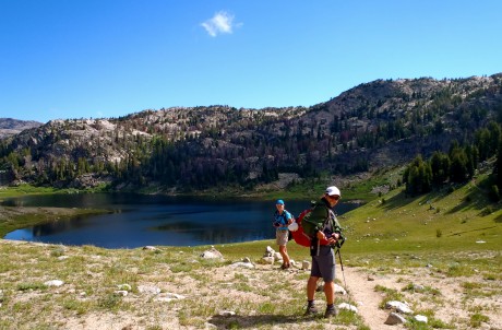
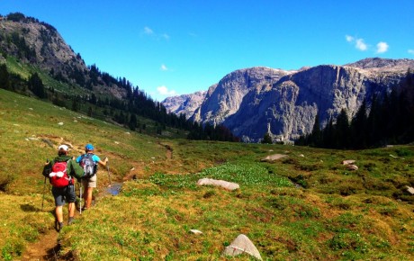
Thanks to Tom Carter, I had also learned prior to our hike that New Fork Canyon is the deepest canyon in the Wind River Range. We were all excited to hike through it. But first we would experience Palmer Canyon.
Palmer Canyon was a pleasant surprise. We didn’t expect anything awesome of this “connecting” trail that would help us link Doubletop Mountain and New Fork Canyon into one hike, but the walls of Palmer are tall and impressive. The descent to New Fork Canyon Trail is pretty dramatic.
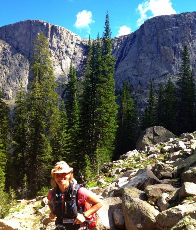
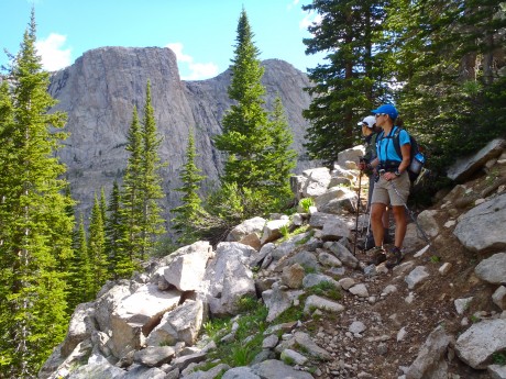
We really enjoyed the changing terrain and remarked that the massive granite walls we could see through the forest caused us to feel a little as if we were hiking in Yosemite. (By the way, our map indicates there are lakes — Hidden Lakes and Thompson Lakes — on top of Palmer. Holly, Kathy and I remarked that seeing those lakes might make a cool hike in the future.)
Once in New Fork Canyon, we were in a completely different landscape. Instead of burned forest or mountain top hiking, we were in the depths of a very green and lush park. Our trail meandered near the New Fork River, and with tall walls of the New Fork Canyon looming overhead.
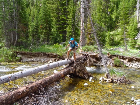
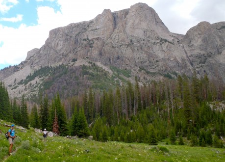
The wildflowers were the most spectacular I’ve ever seen on an epic Wind River hike. Bright red Indian paintbrush and bluebells were everywhere and as tall as our knees. We also saw fireweed, columbine, Queen Ann’s lace and several other varieties.
With about six miles left, we crossed the New Fork River, which was not running very high or swift given last winter’s low snowfall and the current drought conditions. About a half mile farther down, we crossed the river again.
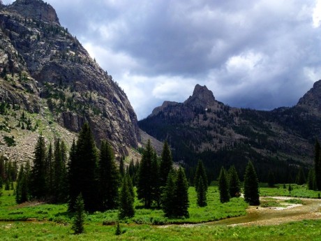
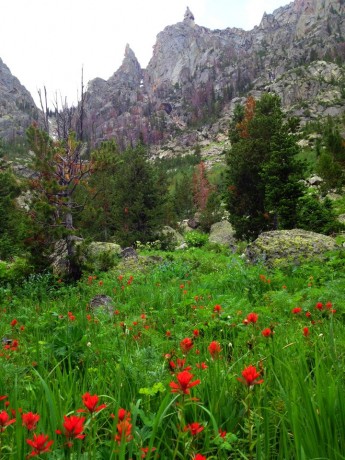
With about 3.5 miles to go, we could spy New Fork Lakes as we descended New Fork Canyon.
With just a half mile remaining, the big storm clouds that had been building up for a couple of hours gave way to rain — and even hail! We were thankful we had arrived to the final, “horses to the barn” stage of the adventure when that happened.
It was a fantastic day: Hiking with two of my closest friends, exploring new country, seeing the expanse of my beloved Wind River Range, hiking through canyons and their massive, sheer walls, and knee-deep in wildflowers.
By the way, when I’m not hiking — and sometimes when I am — I am a life and leadership coach and consultant. Check out EPIC LIFE, my coaching business. Epic Life provides coaching, with an option for a guided epic adventure. I also have a blog there.
Wind River Peak in a Day

NOTE: I know this is a long post. It was a long hike. 🙂 If you’re interested in hiking and climbing Wind River Peak, you’ll find key information in this blog. If you’re not interested in details, etc., I hope you’ll at least enjoy the photos and video at bottom. Or, here’s a 7-minute video blog of the adventure.
As a gift for my 44th birthday, my husband, Jerry, agreed to join me in hiking in and climbing Wind River Peak in a day. We had climbed it before — back in 1998 — during an extended backcountry trip we made with rented llamas, who carried our loads. Wind River was our first Wind River mountain to climb, a good one at that. Wind River Peak stands 13,192 feet tall, and is the tallest mountain in the southern Wind River Range of Wyoming.
The mountain is a massive and beautiful mountain, one that stands out from the southern half of the range. We can see the snowy, rounded peak from many of our favorite “back yard” locations.
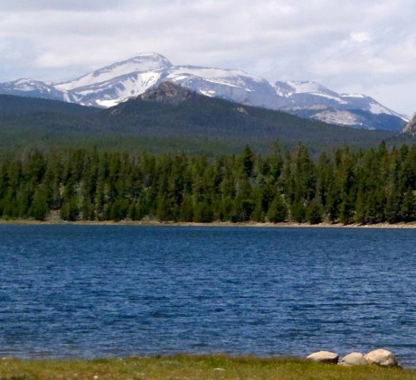
The last time Jerry and I climbed it, we ascended Wind River Peak’s south slopes, via Tayo and upper Tayo lakes. On this adventure, we would ascend its northeast ridge, above the Deep Creek and Ice Creek lakes region.
Our alarm went off at 2 a. m., which even for us early birds, was dizzying. It was more like the middle of the night than the early morning. But our insanity when we had set the alarm was rationalized by our desire to allow ourselves the biggest window of opportunity to accomplish the objective. We were going to be on a tight timeline because we wanted to make it back to Lander in time for our 10-year-old son’s last baseball game, which also happened to be a championship game, scheduled for 7:15 p.m.
We headed to Worthen Reservoir to find the trailhead, a 40-minute drive from Lander. With headlamps on and under a starry sky, we started hiking at around 3:45 a. m. I don’t mind hiking in the dark, but I prefer doing it pre-sunrise, rather than post-sunset. I like being far into the wilderness when the day is greeted by the first light of the sun.
We hiked three miles to Sheep Bridge, basically from 8,500′ to 9,000′ and back down to about 8,500′ again. As we made our way through the dark and quiet forest, the cool air was full and thick of the smell of a campfire. A fire (known as the Fontenelle Fire) was, and is burning, in southwest Wyoming, just over the range from us. The evening prior, Lander was in the thick of its smoke. We had been concerned that our hike might be smoky and that the peak may be a No Go today as a result of thick smoke. Fortunately the smell was from the smoke that had settled in the forest during the night and, by all indications, a stellar, bluebird day was ahead.
After arriving at Sheep Bridge, we joined the Middle Fork Trail and hiked up, and alongside the Middle Fork of the Popo Agie River for about three miles before approaching Three Forks Park. Here, we stayed right and started up the Pinto Park Trail, which eventually leads to Pinto Park and the North Fork of the Popo Agie.
On this day, the sun began lighting up the wilderness — at least enough for us to turn off our headlamps — at around 5 am. Soon after, at exactly 5:03 a.m., something curious happened. Right at that very moment, we heard birds chirping and singing. Until that moment, except for our huffing and puffing, it had been totally quiet. Then, we watched a small herd of elk emerge about 100 feet in front of us, to our right. Like I said, the day was going to be a good one. 🙂
We reached, and took a left, on the Deep Creek Lakes Cutoff Trail. Per our GPS, we had hiked 10 miles. After starting up the Cutoff Trail we hiked near Lake 10,054′, where we paused to watch several fish jumping and cutting through the otherwise smooth-as-glass water. We hiked for 2.3 miles before reaching the first Deep Creek lake, situated at 10,500′ elevation. Our GPS indicated we had traveled about 12.5 miles, and it was only 7:40 a.m. So far so good.
Steve Bechtel, my friend, and author of Cirque of the Towers & Deep Lake. A Select Guide to the Wind Rivers’ Best Rock Climbing, had provided information for us the day before about following “The Ramp” up Wind River Peak. We hiked another half mile or so beyond the first Deep Creek Lake before spying a trail to our right. Unfortunately I suggested we ignore that trail and keep hiking, thinking we weren’t to the ramp’s base yet. Oops. As we hiked toward Ice Creek lakes, it became obvious we (I) had made the wrong decision. So we backtracked a half-mile and picked up the trail and headed (seemingly straight) up. Nothing like making an epic day hike even longer, right?
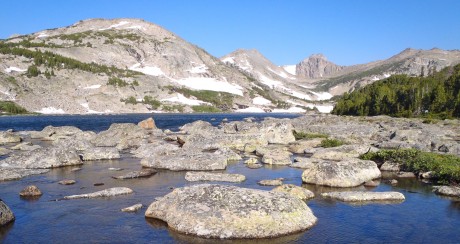
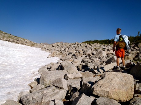
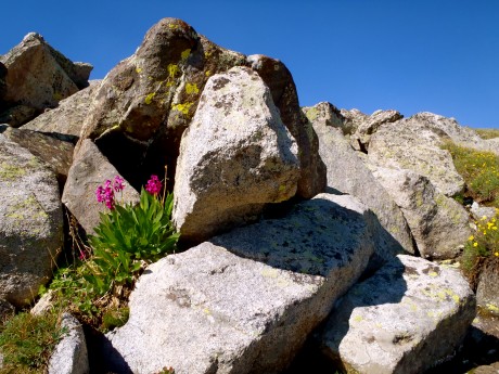
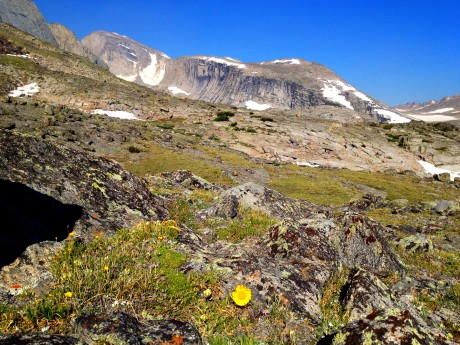
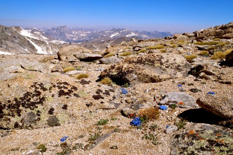
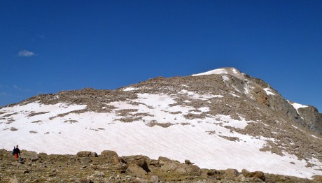
After crossing over a little snow and a boulder field, we found ourselves on the broad ridge that separates Ice Creek and Deep Creek lakes that provides a half-mile-wide “ramp.” Once at the bottom of the ramp, we set our sights on a clump of rocks to the right of Chimney Rock and started up. Wildflowers were everywhere, growing up out of the alpine tundra and gravelly terrain. At times we hiked on tundra, others over rocks and boulders and at others, through snow.
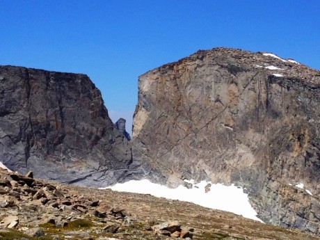
The highlight of this route to Wind River’s summit is the almost-constant view you’re afforded of Little El Capitan, which, as its name suggests, features a massive and sheer wall, along with a notch known as “Surveyor’s Notch.” Little El Capitan is the fourth-tallest mountain in the southern Wind River Range. The sight of this wall is so astounding that we stood and looked at it, our jaws dropping, for quite some time.
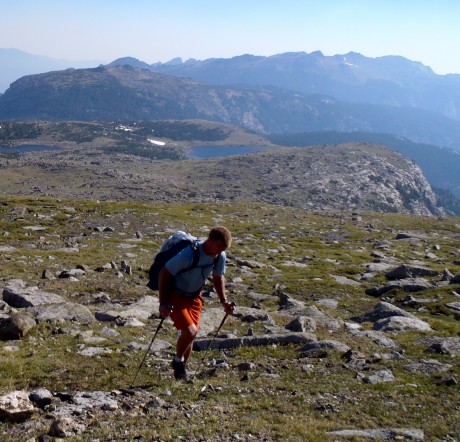
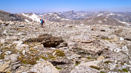
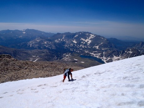
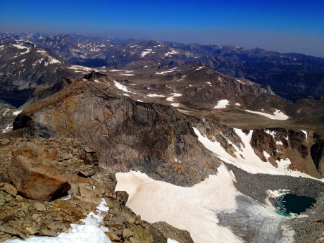
At this point, midway up Wind River Peak, we were sucking air. We have climbed peaks before, this one included, so we were not strangers to thinner air. But doggone it anyway. On the upside, although there was a bit of a haze below us, in the direction we had come, we still had clear and bright blue sky around us on Wind River. The views that unfolded below us and around us were nothing short of spectacular.
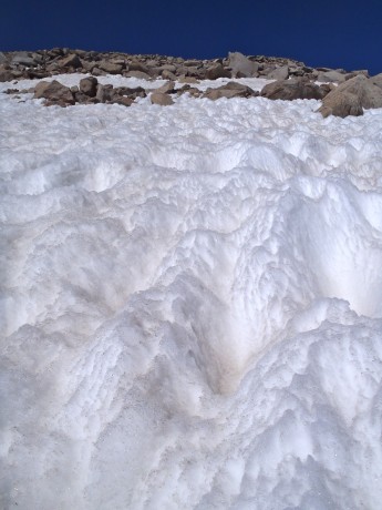
Soon we reached the first of several snow fields. The snow was only knee-deep in most places and melting fast. Still, we were lucky enough that for most of the snow travel during our ascent we could walk on top of the snow.
Reaching summits takes a while. Especially Wind River Peak’s. The approach is a long haul to get to the base of the mountain, and then it’s a 3.5-mile hike to its top. I think as we were finally approaching the top of Wind River, my husband was wishing I had asked for expensive jewelry for my birthday instead of this epic hike.
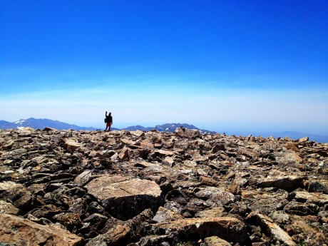
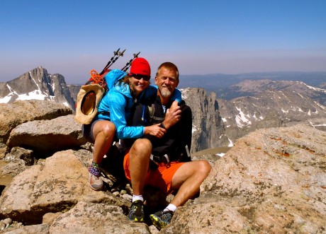
Finally, when our GPS indicated we had only 92 vertical feet left to go, we got a surge of energy and soon reached the rock field that is the top of Wind River Peak. We made our way across it and climbed onto the pile of rocks marking the high point.
The views were as we remembered — epic.
We enjoyed a quick lunch break and I captured some photos and video before our time at the summit was up. We remembered that the summit is only the halfway point and we had a long way to go to make it home in time for our son’s baseball game.
Due to our missing the trail up we had logged an extra mile or so. Our GPS indicated we had hiked 17 miles once we reached the summit. And, at least in this case, downhill doesn’t mean easy. Going down is not easier than going up. It’s just that it’s different; it’s more about caution than effort, and our legs were tired.
We started down. Suddenly, Jerry, with much exuberance, exclaimed: “There’s a person!” I looked and spied a person not very far from us, ascending the peak. And then, Jerry yelled “There’s a whole bunch of ’em!” Turns out a NOLS course was summiting. These were the only hikers we’d see the entire day. Even though Jerry and I both love solitude, it was nice to see other human beings. 🙂 After a short visit with one of the instructors and some of the students, we continued.
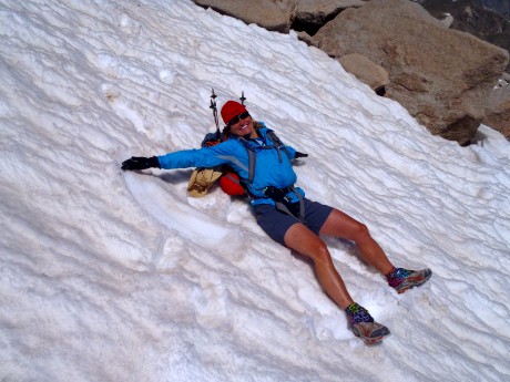
When we hit the first snow field, our legs sank all the way down to our thighs. The snow was melting fast and it would be a little treacherous descending a couple of the snow fields. But on the final one, the most vertical of the snow fields, we enjoyed a long glissade. Standing on the summit with my better half was my favorite part of the day, but the glissade was a high second. It was a blast!
We got down Wind River much quicker than we got up it and before we knew it we were back on the trail. We still had 13-plus miles to go and not very many hours until game-time.
Finally, at Sheep Bridge, and only after enduring the 600-foot uphill slog it is known for, it was like horses to the barn. We made it back to Lander and to Hayden’s game right at the start of the game. As we arrived to the baseball diamond, we looked up and saw my parents, the boys’ babysitter, and our other two sons in the bleachers. At the top of the bleachers. I considered if I had another 8 steps in me. 🙂 And of course, I did.
What a hike and what a day! Once again it has been confirmed that anything’s possible if you’re willing to get up early in the morning, and, oh how I love my back yard.
By the way, when I’m not hiking — and sometimes when I am — I am a life and leadership coach and consultant. Check out EPIC LIFE, my coaching business. Epic Life provides coaching, with an option for a guided epic adventure. I also have a blog there.
Thanks to our wonderful friend, Korinne Thoren, for watching the boys so we could tackle this hike!
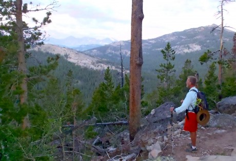
A 7-MINUTE VIDEO BLOG OF THE ADVENTURE:
Climbing Finis Mitchell’s Mountain

Last Thursday, my husband, Jerry, and I left Lander at (gasp) 3:45 am. It was a two-hour drive to the Big Sandy Opening trailhead, and our plans for the day were ambitious: to climb Mitchell Peak and get back to Lander in time for our middle son’s 5:30 pm baseball game.
We made the drive under a star-filled sky, which meant we had picked a stellar day. As we entered the Big Sandy Opening area we noticed our “outside temperature” gauge reporting 21 degrees. OMG. We didn’t plan for below-freezing temperatures. It would be a frigid start. Even with all of our layers on and walking at a brisk pace, we were shivering for the first five miles before the trail left the forest and we could finally feel the warmth of the sun.
We had hiked the route many times before, at least once a year for several years. On this day, we would hike from Big Sandy Opening to Big Sandy Lake, up over the first part of Jackass Pass, to North Lake, where we’d take a hard right and head up Mitchell Peak’s southern slopes before gaining its northwest “walk up” ridge.
Mitchell Peak is part of the famous Cirque of the Towers, one of the most spectacular sights you will ever see. The sight of the Cirque takes my breath away every time I see it. This is partially due to the effort it takes to get there, but mostly due to its sheer and unspeakable beauty. The sight of the Cirque can move you to tears, and it inspires you for days, weeks and months after.
You can access the Cirque via Big Sandy Opening and Jackass Pass (which straddles the Continental Divide and gets its name because it’s so rugged a donkey can’t pass over it — and a stupid person can – LOL) or via Dickinson Park and the North Fork Trail. The former is a harder hike, but shorter in distance — about 15 miles roundtrip. It is truly an epic hike given the jaw-dropping scenery and the rugged terrain. The latter is easier — with only 900′ of gain over the course of about 15 miles (30 roundtrip), but with 5 river crossings.
Jerry and I have wanted to climb Mitchell Peak since at least 1997, the year we first camped near the Cirque of the Towers. (Prior to Thursday, we had climbed Lizard Head, Wind River Peak and other peaks in the southern Wind River Range.)
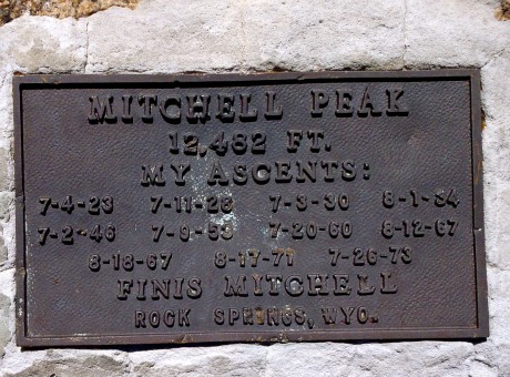
Mitchell Peak is named for the late Finis Mitchell, who remains a hero to our family. During The Depression, Mitchell, and his wife, stocked 2.5 million trout in many of the high country lakes in the Wind River Range by carrying the fish in milk jugs on their horses. A true mountaineer, Mitchell knew the Winds like the back of his hand. He climbed all but 20 of the 300 peaks in the range. Mitchell remained an advocate of the Wind River Range until his death in 1995.
We named our youngest son, Finis, after Finis Mitchell. (By the way, many are unaware of this, but Finis’s name was pronounced in a way that rhymes with “highness.”) Anyhow, Finis Mitchell is pretty special to us, and this was another reason we wanted to stand on top of Mitchell Peak.
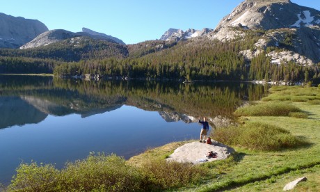
The hike from the trailhead to Big Sandy Lake is a walk in the park. It’s a pretty flat 6 miles, mostly through forest and sometimes running parallel to Big Sandy River. Big Sandy Lake is beautiful, surrounded by Big Sandy Mountain, Haystack Mountain, East Temple and Mt. Scheistler. In our experience, sunlight is almost always dancing on the lake’s surface. The lake looks like it has “dancing diamonds” on top of it.
Walk past the lake and you’ll see a sign directing you up toward Jackass Pass. Think of this next section as a lung-buster — or as I like to say, an opportunity to snack on a little humble pie. excuse my language, but we often call Jackass Pass “kick your ass pass.” It’s that good. 🙂
We hiked uphill for a bit. The views, looking back, are impressive. We could see Schiestler Peak, East Temple and Temple peaks behind us. To our left was Warbonnet. Up ahead we were getting teased by Pingora, and the Cirque of the Towers, which were starting to jut out of the pass ahead of us. Also about this time, we were able to get a glimpse of Mitchell Peak.
Mitchell Peak, along with Dogtooth Mountain and Big Sandy Mountain, form a high northwest-southeast ridge on the Continental Divide.
I get excited when I am hiking along the Continental Divide. This means that precipitation that falls on the Big Sandy side eventually makes its way to the Gulf of California and the Pacific Ocean, by way of the Big Sandy, Green and Colorado rivers. Precipitation that falls to the other side eventually flows 4,000 miles to the Gulf of Mexico, by way of the Popo Agie, Bighorn, Yellowstone, Missouri and Mississippi rivers. It’s pretty cool to be walking along the backbone that splits these two realities.
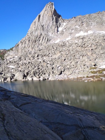
We would descend to North Lake and then take a hard right and start our scramble up the mountain’s southern slopes. In reading about Mitchell Peak, we came across a report where Finis had indicated “even a 10-year-old could walk up.” It sounded like the route for us. (Disclaimer, a very fit 10-year-old could definitely summit Mitchell Peak, but would probably be best advised to do it during an extended camping trip in the area, rather than as a day hike from Big Sandy Opening.)
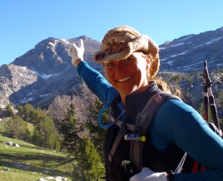
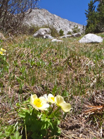
At just under seven miles, we reached the end of North Lake and left the trail for Mitchell. My GPS indicated we were at 10,500′, so we had about 2,000′ of vertical to go to claim Mitchell’s summit. Alrighty then. (Access to information is not always a good thing, right?) We paused and considered which route we would take. We could go to the left and follow a spring up. It looked most direct, but more treacherous than our option to the right. The route at right appeared to be more gentle so we headed that way.
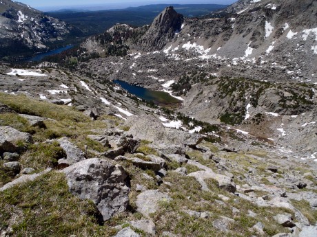
It wasn’t long and we got past the big rocky outcrop and could start heading more directly toward Mitchell’s top. I didn’t need to check my GPS to learn we had arrived at 11,500′. I knew from past experience that, at least for me, once above 11,000,’ it’s like breathing with only part of a lung, or like someone knocked the wind out of me. So our going got slower but we could taste the summit. I mean, it was right there.
The scenery behind us and before us, was astounding. Silver granite towers jutted out of seemingly fragile alpine tundra, which was littered with boulders and delicate wildflowers.
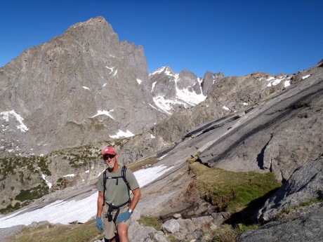
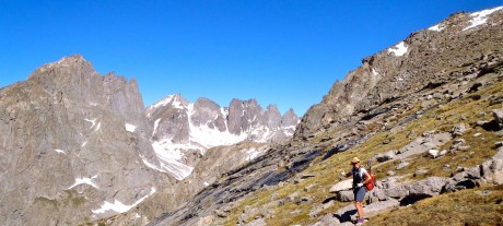
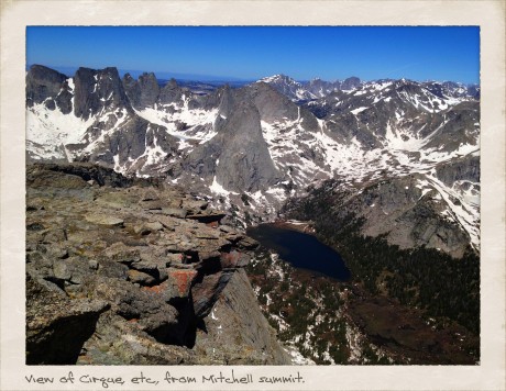
Finally we made it to the top. The views were even grander than we expected. We looked down upon the Cirque of the Towers, and because we were above the towers, we could see the depth of the Cirque. In all directions we had views of granite mountains, rivers and lakes tucked under cirques, some still with “blue ice” on them. Except for the summit’s high point, Mitchell’s top is pretty flat and broad. I was especially awe-struck after we ventured over to take in the views from directly above Mitchell’s 1,000-foot-tall and sheer north face. Wow.
Finis Mitchell, in his Wind River Trails book, said: “…Seldom does man ponder his own insignificance. He thinks he is master of all things. He thinks the world is his without bonds. Nothing could be farther from the truth. Only when he tramps the mountains alone, communing with nature, observing other insignificant creatures about him, to come and go as he will, does he awaken to his own short-lived presence on Earth.”
Indeed. As I sat on Mitchell’s summit taking in views of my beloved Wind River mountains, which are composed mostly of granite rock formed deep under the surface of the Earth over 1 billion years ago, I was humbled, and grateful.
By the way, when I’m not hiking — and sometimes when I am — I am a life and leadership coach and consultant. Check out EPIC LIFE, my coaching business. Epic Life provides coaching, with an option for a guided epic adventure. I also have a blog there.
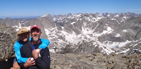
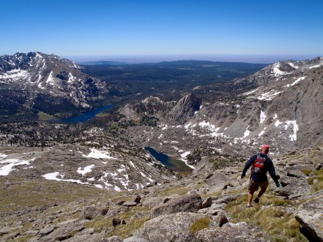
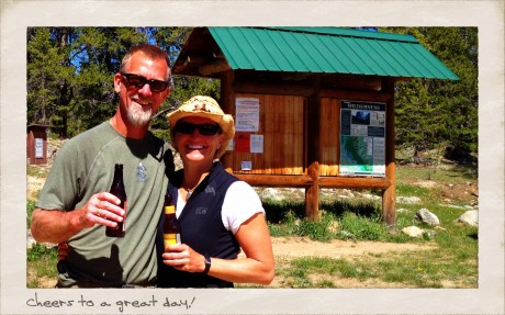
Here are some photos, as well as a video blog of the day (compressed to 7 minutes).
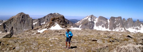
VIDEO BLOG OF THE HIKE:
